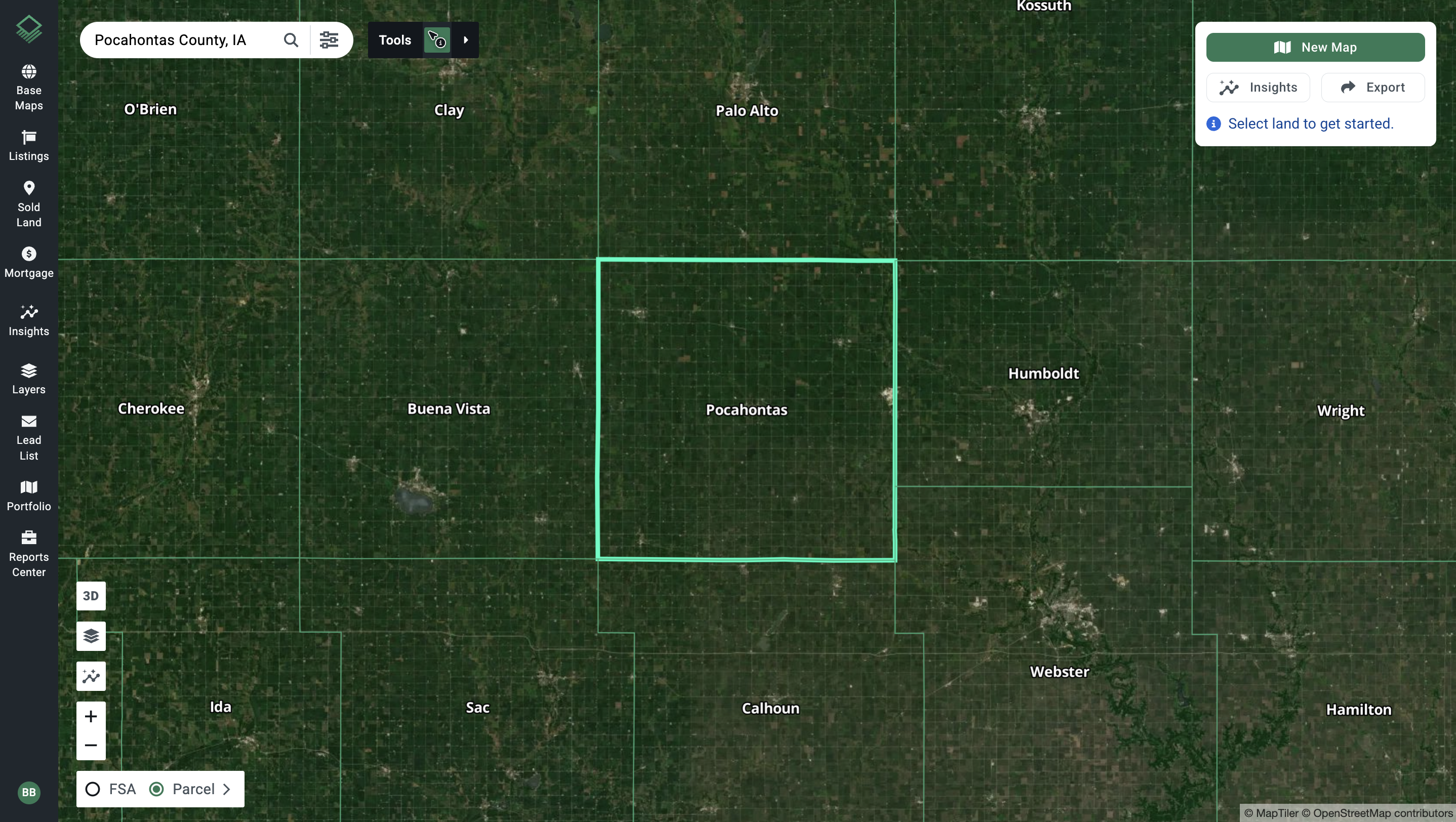
Let's dive into an intriguing case study that perfectly exemplifies the power of Acres in providing deep insights into land value and its potential suitability for investment. This test case uses an off-market opportunity in Pocahontas County, Iowa to demonstrate how Acres can be used to help research the value of a property.
The Opportunity
A farmer from Pocahontas County, Iowa reached out with a potential investment opportunity. The farm, priced just under $10,000 per gross acre, amounted to a total investment of around one and a half million dollars.
Calculating Cost Per Tillable Acre
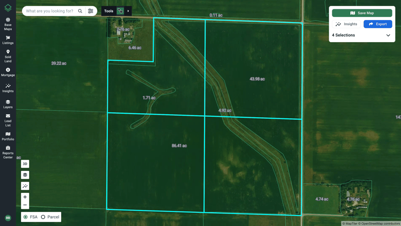
Given that this property is farmland, the first step was recalculating the cost on a per tillable acre basis rather than gross acreage. Clicking on the FSA (CLU) map setting allows you to easily identify 130 tillable acres and adjust the price to about $11,500 per farmable acre.

Regional Sales Data
Next, search for comparable sales using sale date, type, and acreage. The Sold Land layer in Acres allows you to easily find data from the past six months, and gives you the ability to confirm that the offer came within a reasonable price range for the region.
Land Diligence
You can begin the land diligence process by looking at the soil data available in Acres. This property has an 83.3 CSR2 and the dominant soil types are heavier clay soils. The soil data paired with the elevation layer revealed potential flooding concerns, with moderate erosion and a significant slope in the southwest corner.
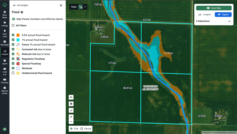
Flood insights (pictured below), historic vegetation index, and historic satellite imagery helps confirm this risk by showing a reduction in vegetation related to standing water. This provides important insight prior to visiting the property.

The Decision
Using research from Acres supports on-site diligence. When taking this into consideration alongside additional data, like property tax and county yield information, the valuation came in below what the seller found acceptable. The decision was made to pass on the opportunity due to the disconnect between the seller’s and buyer’s expectations.
Final Thoughts
Remember, the decision to consider or pursue an opportunity should be based on individual circumstances, preferences, and the advice of qualified professionals. As demonstrated, Acres is a great starting point for your research. It not only helps with on-site diligence but also allows you to make more informed decisions that meet your needs.
