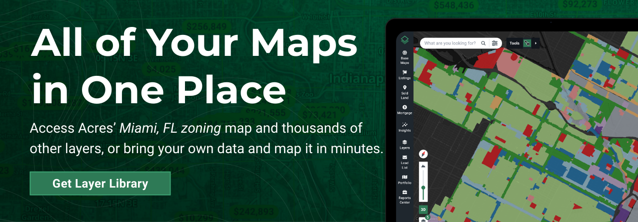
Acres.com offers a powerful, user-friendly Miami zoning map via Acres’ Layers, designed to help you visualize zoning regulations at the parcel level. Whether you’re interested in residential, commercial, industrial, or civic zones, Acres lets you toggle zoning overlays with ease.

Key Zoning Classifications in Miami
- Residential (homes, dorms, home offices)
- Lodging (hotels, inns, B&Bs)
- Office (business, service, and government facilities)
- Commercial (retail, food service, and entertainment)
- Civic (religious, recreational, and community spaces)
- Educational (schools, childcare, research centers)
- Industrial (manufacturing, logistics, processing)
- Civil Support (utilities, public infrastructure)
Miami 21 Zoning Code Decoder
Unlike traditional zoning, Miami 21 was designed to meet 21st-century development needs. The goal? Create a more walkable, sustainable, and livable city through encouraging mixed-use neighborhoods and connected urban spaces. Miami 21 zoning is included with this map layer in Acres.
These zoning codes look cryptic at first, but they’re actually a shorthand “formula” made up of 3 main parts:
- Transect Zone (T1–T6, CS, CI, D1–D3) → Defines overall character (from natural to urban).
- Height Range (number after the dash, e.g., -8, -12, -24) → Defines max stories.
- Use Modifier (R, L, O) → Defines how restricted or open the allowed uses are.
| Transect Zone |
Meaning
|
| T1 |
Natural/Conserved |
| T2 |
Rural |
| T3 |
Suburban |
| T4 |
General Urban |
| T5 |
Urban Center |
| T6 |
Urban Core |
| CS |
Civis Space |
| CI |
Civic Institution |
| CI-HD |
Health District |
| D1 |
Work Place |
| D2 |
Industrial |
| D3 |
Waterfront Industrial |
| Height Indicator |
Meaning |
| -4 |
Up to 4 stories |
| -5 |
Up to 5 stories |
| -8 |
Up to 8 stories |
| -12 |
Up to 12 stories |
| -24 |
Up to 24 stories |
| -36 |
Up to 36 stories |
| -60 |
Up to 60 stories |
| Use Modifier |
Symbol |
| Restricted |
R |
| Limited |
L |
| Open |
O |
Understanding these distinctions is critical when navigating the Miami-Dade County zoning codes for land acquisition, redevelopment, or rezoning efforts.
Start exploring the city of Miami zoning map and thousands of other data layers today.