From economic development to real estate market trends, Public Use Microdata Areas (PUMAs) provide analysts, businesses, and government agencies with a way to break down complex census data into actionable insights.
What are PUMAs?
PUMAs are geographic units used by the U.S. Census Bureau to organize and analyze microdata from the decennial census and the American Community Survey (ACS).
These areas partition each state, the District of Columbia, Puerto Rico, and Guam into areas with a minimum population of 100,000. The boundaries are redrawn every 10 years based on census data.
Public Use Microdata Areas Map
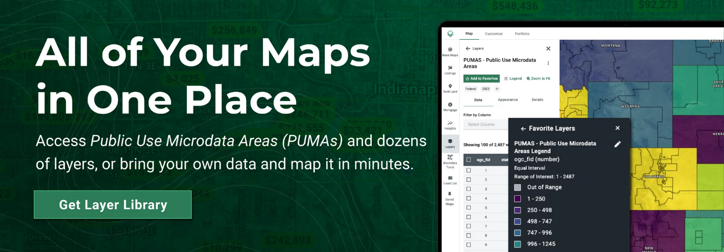
Acres.com offers an interactive PUMA Map, available in our Layer Library. This tool helps users visualize the boundaries of microdata zones.
Connect with our sales team today to explore hundreds of data layers!
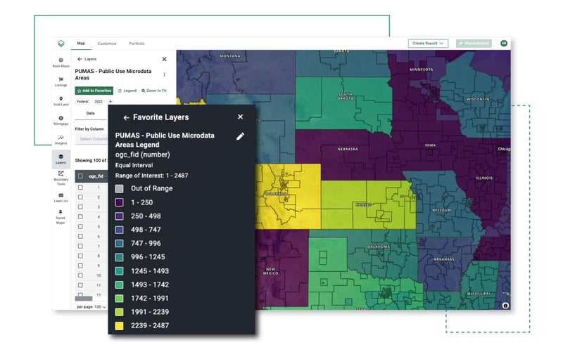
Acres’ PUMAs data is derived from the United States Census Bureau.
Applications of PUMAs
PUMAs collect national and regional datasets which may be made publicly available through Public Use Microdata Sample (PUMS) files, providing critical insights for:
- Urban Planning: Identify housing trends, income distribution, and migration patterns.
- Economic Development: Support site selection and market research with demographic data.
- Real estate analysis: Understand population shifts and market demand.
- Funding Allocation: Federal and state agencies use PUMA data to guide investment in education, transportation, and healthcare services.
How PUMAs Influence Land Use
Although PUMAs do not directly impact individual landowners, they play a role in broader economic and policy decisions that can influence land values over time.
Government & Planning
Local governments and policymakers rely on PUMA data to make decisions about:
- Infrastructure Projects
- Housing Policies and Zoning Updates
- Community Development Initiatives
Real Estate & Market Trends
Developers and investors analyze PUMA data to:
- Track Population Growth and Income Levels
- Assess Housing Demand and Affordability
- Identify Investment Opportunities
Grant & Funding Allocation
Federal and state agencies distribute funding based on PUMA-based data for:
- Public Services and Schools
- Transportation Improvements
- Economic Development Programs
Final Thoughts
Public Use Microdata Areas (PUMAs) are a powerful tool for shaping land policies, real estate trends, and funding decisions. While they don’t directly impact land ownership, the insights they provide influence broader market dynamics.