While national parks attract millions of visitors, many equally stunning natural spaces remain undiscovered. Limited mapping access has kept these areas off the radar—until now. Thanks to advances in digital mapping technology, it’s easier than ever to locate and explore lesser-known recreational and conservation areas.
Interactive maps and real-time data empower outdoor enthusiasts, landowners, and conservationists to find hidden gems—wildlife refuges, scenic trails, and protected landscapes—while supporting sustainability and responsible land use.
Map of U.S. Recreational and Conservation Areas
Acres.com offers an interactive Recreational and Conservation Areas Map, a comprehensive visualization of public lands, parks, and protected areas across the country.
Available in our Layer Library, this map can serve as a valuable tool to locate hidden gems, like lesser-known parks, wildlife refuges, or scenic trails.
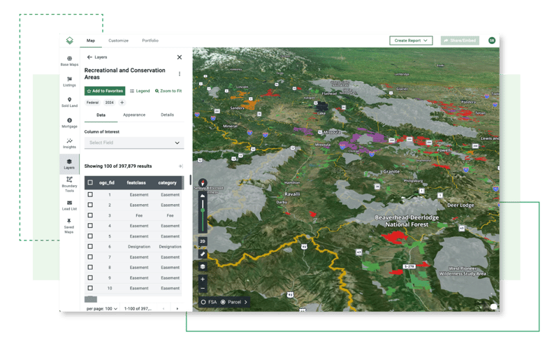
Acres’ National and Regional Public Lands Map is derived from data provided by the U.S. Geological Survey's Gap Analysis Project (GAP).
Supporting Conservation Efforts and Local Economies
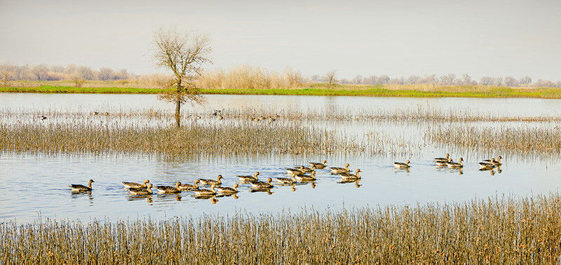
Visiting lesser-known conservation areas does more than provide an escape into nature—it actively supports environmental preservation and local communities.
- Eco-Tourism Impact: Many protected areas rely on tourism for funding. Increased awareness and visitation help sustain conservation programs.
- Community Benefits: Small towns near these sites thrive on visitor spending, boosting local businesses and services.
By exploring these hidden landscapes, adventurers play a direct role in conservation efforts while enjoying pristine natural beauty.
Enhancing Outdoor Recreation
Time in nature isn’t just enjoyable—it’s proven essential for well-being. The Acres Recreational and Conservation Areas Map helps you find:
- Hiking & biking trails
- Fishing spots & waterways
- Wildlife viewing & birdwatching areas
- Scenic byways & camping sites
Whether you seek solitude, adventure, or research insights, our map connects you to incredible outdoor spaces.
How Data and Mapping Tools Promote Conservation
GIS-powered mapping can contribute to environmental preservation by:
- Identifying Priority Conservation Areas: Pinpointing ecologically sensitive zones and wildlife corridors.
- Monitoring Land Use Changes: Tracking urban expansion and habitat shifts for better conservation planning.
- Disaster Response & Recovery: Assessing wildfire risks, erosion-prone areas, and flood zones to guide mitigation efforts.
Final Thoughts
A Recreational and Conservation Areas Map is more than just a tool—it’s the connection between exploration and preservation. With Acre’s advanced mapping data, discover local recreation areas, conservation lands, and much more.
When we choose sustainable recreation, we help keep our landscapes open, protected, and thriving for future generations.