GIS & Mapping
Map Highlight: U.S. Power Substations
Discover how substation locations influence land value, investment potential, and development. Explore the Acres Substations Map for data-driven...
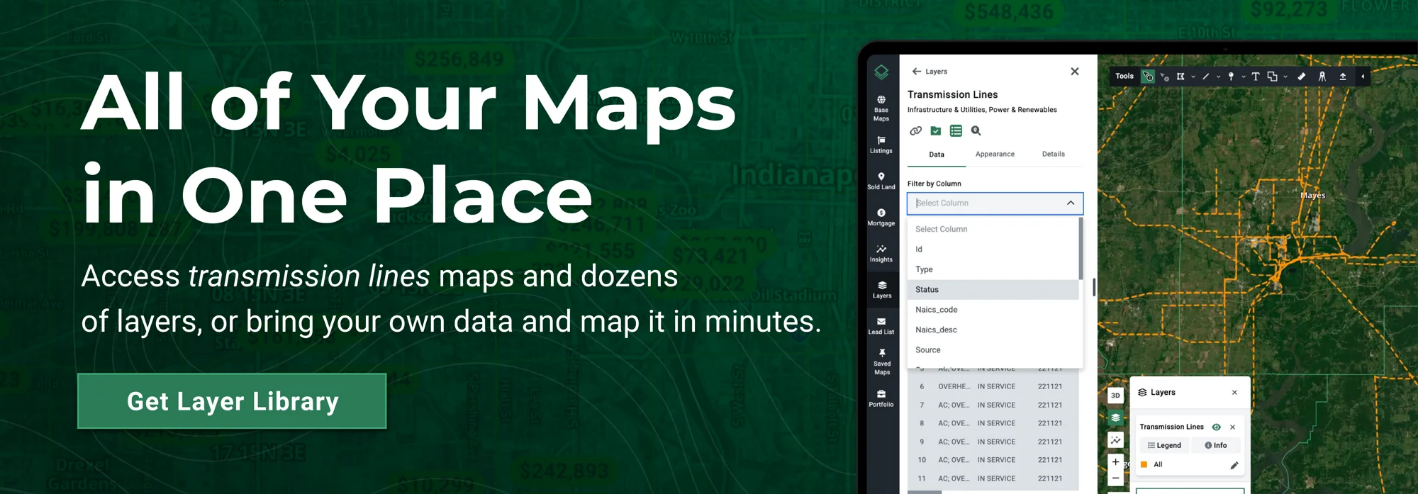
Explore U.S. transmission lines and see how they affect land use and value. Visualize infrastructure with Acres’ powerful mapping platform.

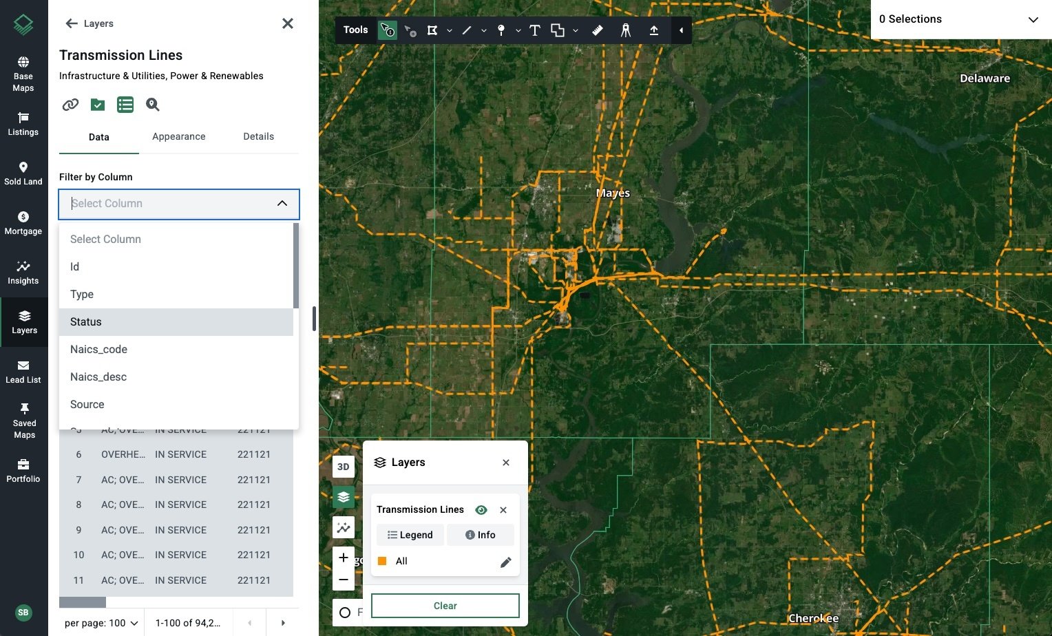
High-voltage corridors influence what gets built, where, and how quickly. With Acres.com, developers can gain direct access to the power infrastructure data needed to assess feasibility early, reduce risk, and plan with confidence. Our Transmission Lines Map is an essential tool for any due diligence process.
Transmission lines are high-voltage pathways that carry electricity from power plants to substations before distribution to homes and businesses. Think of them as the highways of the U.S. electric grid—built to move electricity efficiently and reliably.
Their presence can significantly affect:
Accessible via the Acres Layer Library, the Transmission Lines Map provides:
Connect with our sales team to start exploring the Layer Library today!
Acres’ nationwide power plant data is derived from the Energy Information Administration (EIA).
Knowing the type of line on or near a property can help you plan better and avoid surprises during development.
Planning Tip: Adjust site layouts to avoid overestimating buildable space. Maintain adequate setbacks.
Planning Tip: Easements may not be visible but can limit grading and construction. Always verify.
Most transmission lines are located within easements or designated rights-of-way. These restrict land use and grant utility companies access for maintenance and upgrades.
High-voltage corridors can restrict zoning and land use applications. Early awareness helps with zoning strategies or design pivots.
OSHA compliance and local codes dictate minimum clearance. Proximity to transmission lines may require design changes to ensure safety.
Infrastructure can limit buildable space, influence building placement, and affect height and setback regulations.
Knowing the utility operator early in the process can streamline permitting and reduce project delays.
Before acquiring or entitling a site, developers use the Transmission Lines Map to:
Combine this layer with parcel boundary data, zoning insights, and market comps for a complete feasibility view.
With Acres’ Transmission Lines Map and other power infrastructure maps, you can quickly evaluate power availability for your next build.
Make informed development decisions with comprehensive land data. Contact our sales team for a demo and start exploring today.
Discover how substation locations influence land value, investment potential, and development. Explore the Acres Substations Map for data-driven...
Track battery storage plant locations nationwide and understand their impact on land value with Acres.com’s powerful mapping tools.
Learn how to read property values on a map effectively, understand key factors influencing land value, and make informed decisions with Acres.com.
