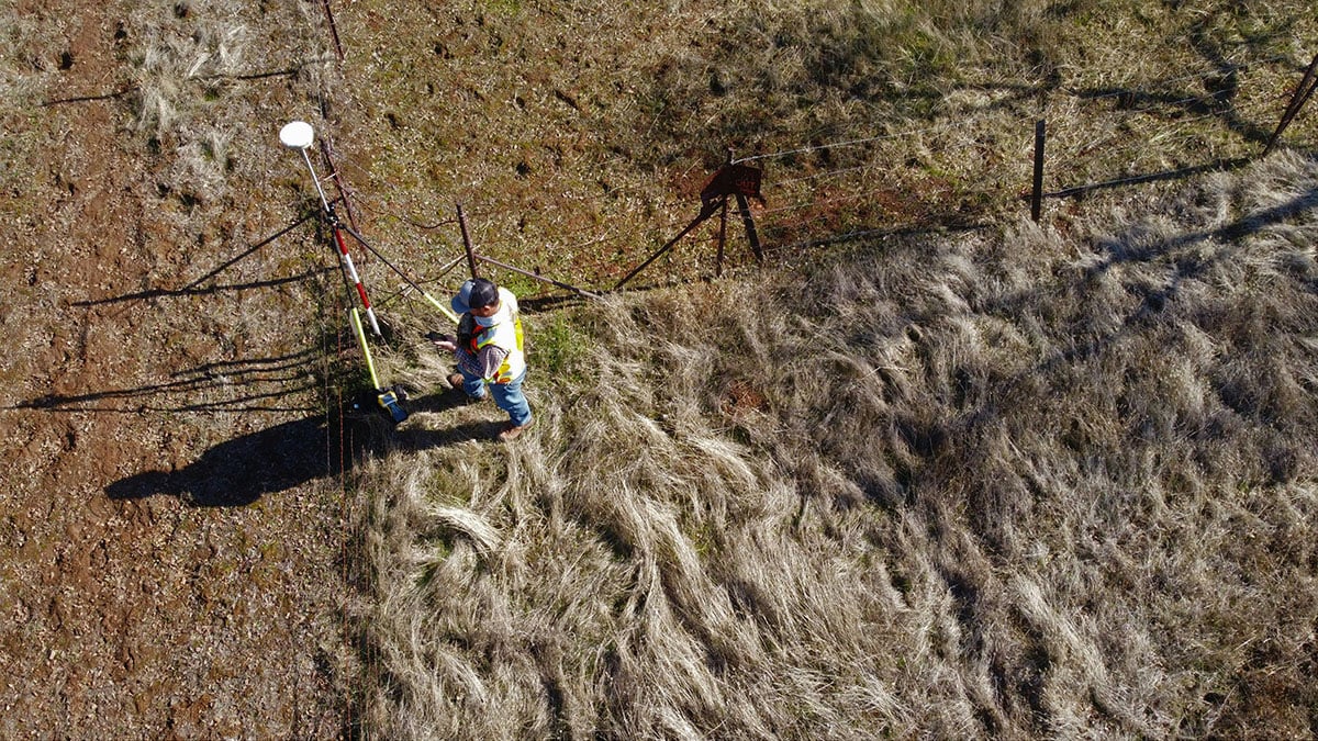
Whether you’re buying a new tract of land or making improvements to your existing property, it’s a good idea to get a land survey beforehand to make sure everything is in order. A survey yields vital information and may even be required by lenders or insurers before you purchase land.
What is a Land Survey?
A land survey is an exact depiction of the shape, size, features, and boundaries of a piece of land. It functions as a documentation of your property’s boundary lines and is essential when planning any kind of major construction or expansion projects on your land. When a land survey is finished, it yields something called a basemap. This artifact is a drawn record of all information collected as part of the survey.
Property boundary lines — or simply property lines — are the official record of where a property begins and ends. These can be useful to have for a number of reasons, but they primarily come up when you make changes to a property you already own or are purchasing property. For instance, you might need to know where you can build a fence, install a pool, run a utility, or the location of existing easements.
What does a survey consist of?
When you commission a land surveyor to assess your property, they take measurements and record property lines — as well as information such as the slope and elevation of the property, location of existing structures, and presence of utilities — in an official and legal capacity. Surveyors combine their own measurements of your property with existing records to produce survey maps and other documentation necessary for improvements or modifications to the property, including selling it.
Types of Surveys
Land surveys aren’t one-size-fits-all. Different survey types are required for different purposes, and their pricing reflects the intensity of data collection involved as well as the size of the property.
- American Land Title Association (ATLA) Survey: A thorough survey which provides lenders or title companies with key info necessary for an ALTA insurance policy. These surveys can run long, taking weeks or months to complete.
- As-Built Survey. A high-grade survey which utilizes advanced techniques, such as laser imaging and drone footage. These surveys are usually conducted during an ongoing construction project to compare the proposed construction on a property with the way it was actually built.
- Boundary Survey. Used to establish a property’s borders, and usually doable in a few days. This type of survey is fairly common when identifying easements and encumbrances on the property.
- Mortgage Survey. Used when purchasing a property. Mortgage lenders and insurance companies may request this type of survey in order to ensure that a property has any improvements claimed in its description, confirm the location and presence of buildings, and to ensure your property doesn’t encroach on that of your neighbors. Mortgage surveys are relatively quick and inexpensive compared to an ATLA.
- New Construction Survey. A more expensive type of survey conducted before building roads, laying utilities, or constructing new buildings on a property. These surveys are critical for communicating to contractors the location of future construction.
- Subdivision Survey. Used when a parcel is being subdivided into smaller properties. Licensed land surveyors use this type of survey to create maps and other documentation for your property, which are then used to divvy the land into smaller parcels.
- Topographic Survey. A high-level survey used by professionals to establish the location of both natural and man-made structures and features on a property, such as buildings, woodlands, bodies of water, roads, and utilities. These surveys are labor- and resource-intensive and typically used by developers and the like.
Land Survey FAQs
Why do I need a land survey?
Surveys are useful to have for nearly everything you might want to do to improve or modify your property. Land should be surveyed when you try to buy or sell it. You may also need a survey when you file for certain kinds of mortgages, install septic systems and other utilities, or divide a parcel of land into smaller parcels. You may want or need an updated survey when attempting to mediate neighborly disputes over boundaries, too.
Can I conduct my own survey?
While you can perform your own survey, self-conducted surveys aren’t accepted for use in legal documents or any transactions involving the property. If you need a survey for any purpose other than DIY home improvement, employ a professional.
How much does a survey cost?
Land surveys typically cost around $500-$700, but can cost upwards of a thousand in cases where the property is hard to access or exceptionally large. The most expensive surveys are those which take a long time and utilize the most resources, like as-built or ATLA surveys.
Where can I find land survey records?
Some local offices maintain online records of land surveys, but even if they don’t, you can always check with your local assessor’s office in person. Land surveys are only useful when they’re up-to-date, so checking with your local offices is usually a good first step when beginning the survey process.
How long does it take to get a land survey?
When working with a professional, timelines can vary based on the required research, size of the property, and complexity of measuring the land. On average, you can expect a turnaround of around 5-10 business days, but some — like ATLA surveys — can take months.
Final Thoughts
Having a current survey is an important part of land transactions to understand boundaries, the location of structures, potential encroachments, and the location of easements. It’s also essential to know your property boundary lines whenever you begin new construction on your property. Consult with professionals in your area to determine the type of survey to best suit your needs.
