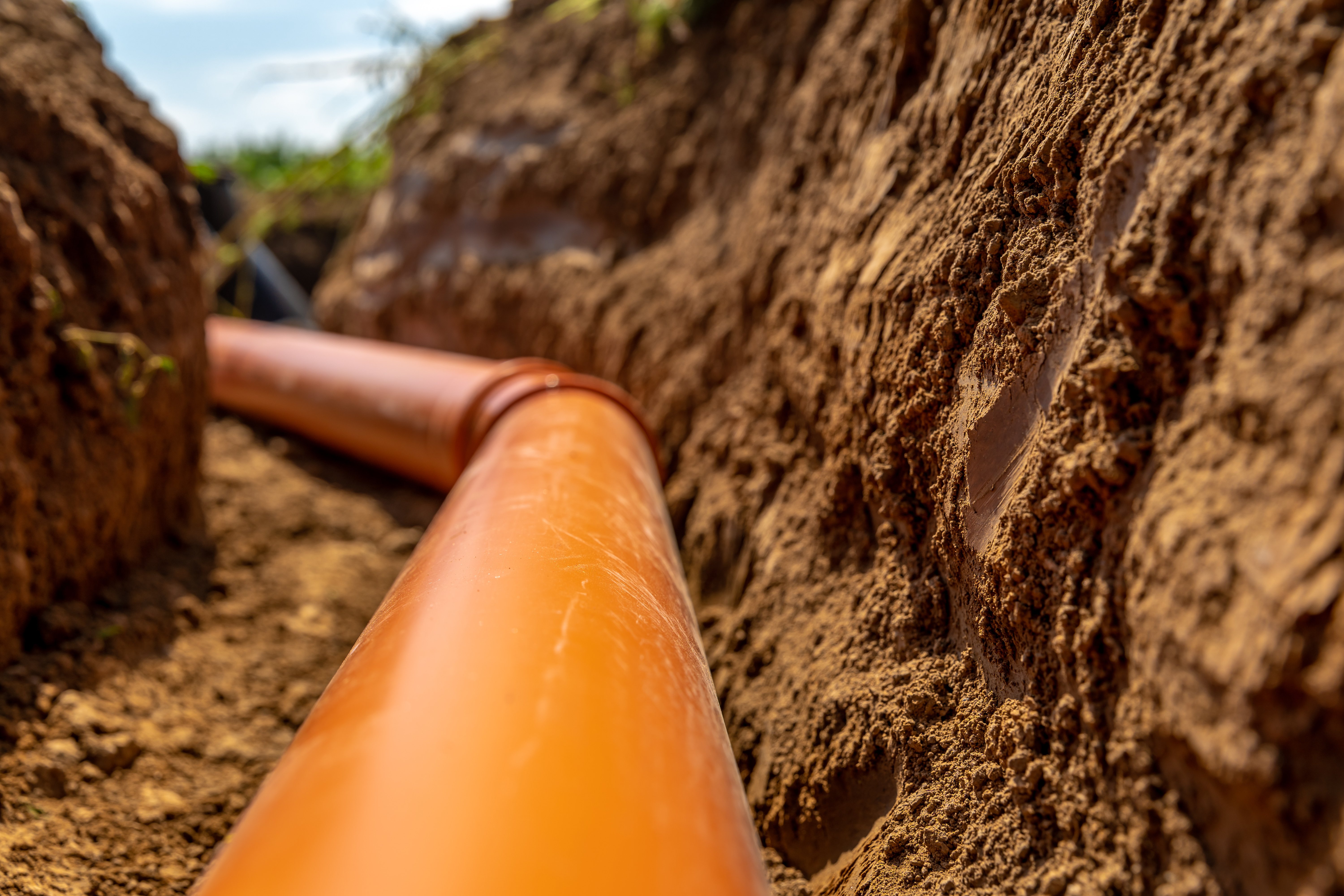
Every builder has lived it—spending months chasing a deal that checks every box on paper, only to watch it unravel in due diligence. Environmental red flags, title complications, or obscure land-use restrictions can turn a promising site into a financial sinkhole.
For acquisition teams moving quickly to secure high-demand parcels, even a single overlooked detail can have seven-figure consequences.
Case Study: The Parcel That Looked Perfect
A regional builder acquired a mid-sized parcel for just under $2 million, planning to build around 60 homes priced in the mid-$600,000s. The site appeared ideal: well-located, zoned correctly, and aligned with the company’s long-term growth plan. Early diligence raised no alarms.
Months later, however, a deeper review uncovered something unexpected: historical records showed a former railroad spur had once crossed the property. Environmental testing confirmed creosote contamination from old railroad ties, triggering strict remediation requirements and future land-use restrictions.
Under state and federal regulations, residential construction was no longer feasible. By that point, the builder had already invested six figures in diligence and predevelopment work—capital that couldn’t be recovered.
The Takeaway: Some Risks Are Invisible, Until They Aren’t
Even the most seasoned acquisition teams can miss historical land uses that no longer appear in zoning data or county records. Former industrial corridors, fill sites, or utility easements may be invisible on paper but still carry major environmental liabilities.
Traditional due diligence—site visits, reports, and environmental screening—often happens after a parcel is under contract. At that point, the clock is ticking and teams are financially committed. That’s why early detection of these risks is critical.
How Acres Helps Teams See What Others Miss
With Acres, these hidden liabilities can be surfaced before a team ever enters diligence. Using historical aerial imagery and layered environmental data, the Acres Home Builder Index allows teams to visualize past land uses directly on the map.
If the regional builder had used Acres’ historical imagery, the old railroad alignment would have been visible instantly; flagging the contamination risk before offers were made and contracts signed. Instead of absorbing hundreds of thousands in lost capital and time, the team could have redirected focus to cleaner, more viable parcels.
Beyond historical imagery, the Index provides:
- Verified land sales and entity tracking that reveals patterns in builder acquisitions nationwide.
- Integrated zoning, infrastructure, and environmental layers that streamline early-stage screening.
- Parcel-level insights that let teams prioritize diligence on the most promising opportunities.
Final Thoughts
Land acquisition will always carry risk, but with better visibility, those risks can be managed instead of discovered too late. The contaminated parcel is a cautionary tale for builders everywhere: due diligence begins long before the contract.
With Acres, acquisition teams can see beneath the surface; identifying historical, environmental, and market factors that turn hidden pitfalls into strategic foresight.
